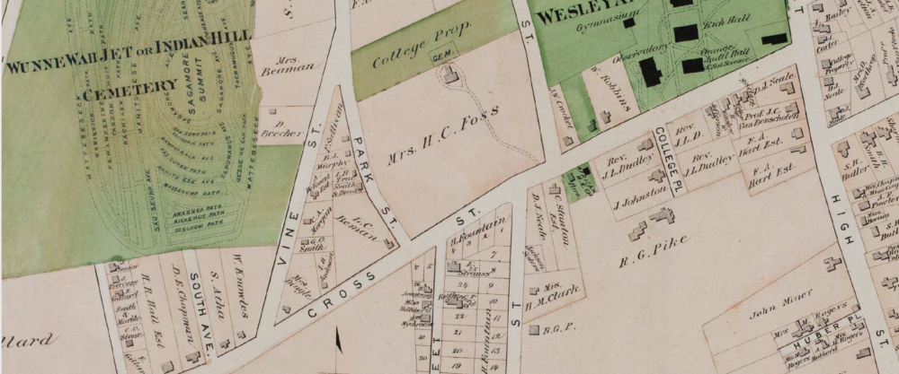
Map showing location of properties on the ‘Beman Triangle’
Red pins indicate site with possible archaeological significance, orange pin the Church, blue pins are houses post-dating the African-American community.

Fall 2014 Excavation sites:
MIDDLETOWN, CONNECTICUT
Map showing location of properties on the ‘Beman Triangle’
Red pins indicate site with possible archaeological significance, orange pin the Church, blue pins are houses post-dating the African-American community.
Fall 2014 Excavation sites: